At 3,213 feet, Mount Davis is the highest ground in Pennsylvania — and the hike to its observation tower is short enough for the whole family. Here's how to summit the state, plus the rare bog next door.
You can stand on the highest ground in Pennsylvania and barely break a sweat. Mount Davis, at 3,213 feet, is the state's highpoint — deep in Forbes State Forest in southern Somerset County, four miles north of the Maryland line — and reaching the top is one of the most rewarding easy hikes in the Laurel Highlands.
The hike
The Mount Davis Highpoint Trail is a gentle ~1.8-mile loop (roughly 120 feet of gain, 30–60 minutes) combining the Tub Mill Run and High Point trails through mixed forest to the summit's steel observation tower — climb it for a view over the surrounding ridges that stretches into Maryland and West Virginia on clear days. It's rocky in spots, so wear real shoes, but it's genuinely doable with kids. Trail detail: AllTrails and DCNR's Forbes State Forest hiking page.
The bragging rights
There's a specific joy to a highpoint. A bronze U.S. Geological Survey marker sits at the true summit; the tower gives you the actual view. For a modest walk, you get to say you stood on top of the whole state — a first-rate payoff for a family hike, and a genuine notch for peak-baggers working the state highpoints.
The rare bog next door
While you're in this corner of Forbes State Forest, don't miss Spruce Flats Bog — a rare high-elevation, ~28-acre bog above 2,700 feet, formed in a mountaintop depression. It's an ecological oddity for Pennsylvania (think carnivorous plants and boreal species usually found much farther north), reachable by a short walk. A quiet, strange, beautiful counterpoint to the summit.
Where it fits
Mount Davis sits in the same southern-Somerset country as Kooser and the quiet state parks and the covered-bridge backroads — string them together for a full day of underrated Laurel Highlands. It's especially good in fall, when the high country turns first (see the foliage guide).
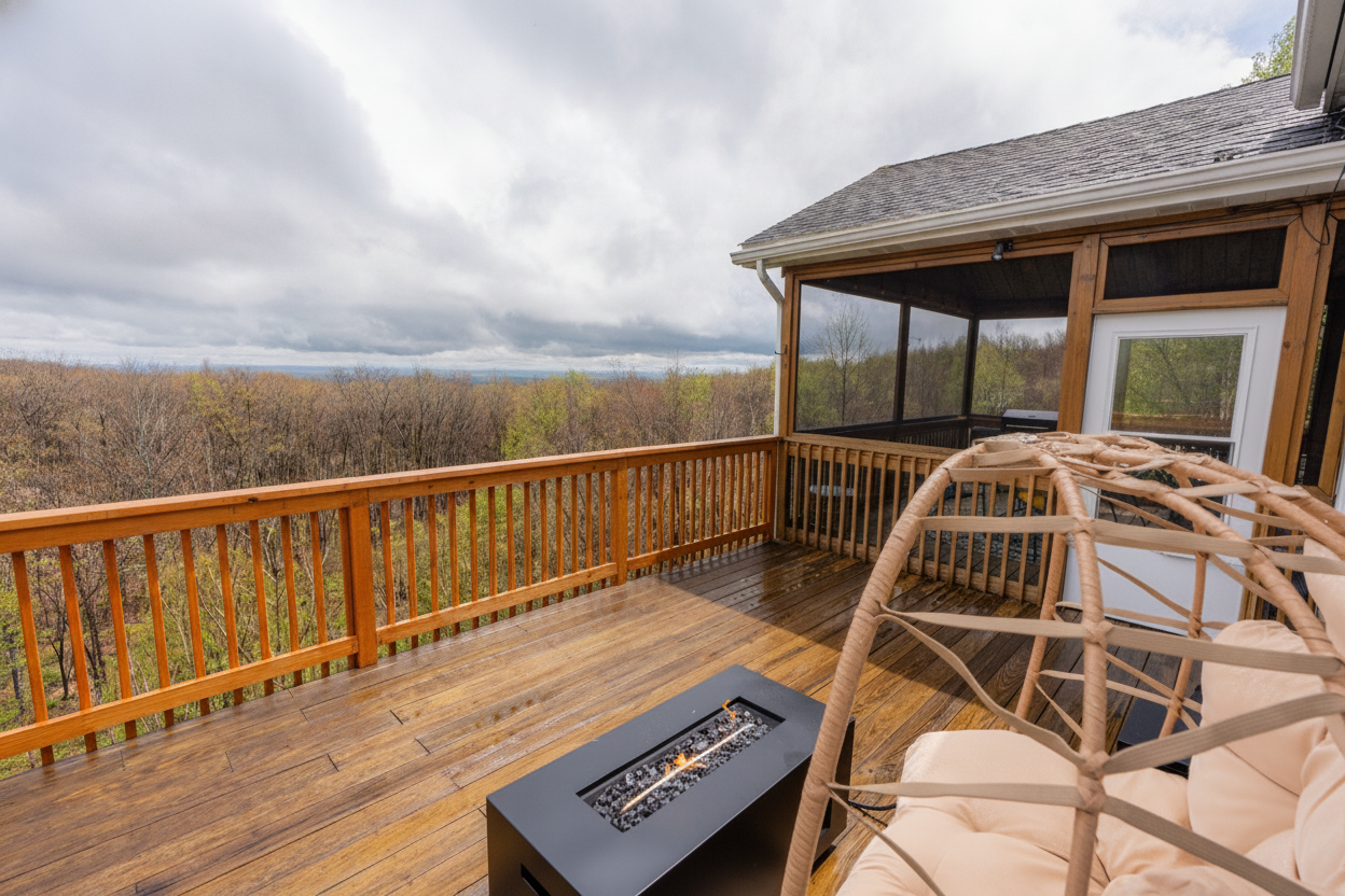
Make a weekend of it: our homes put this whole quiet corner within reach, with a hot tub for the after-hike. The full regional map is in The Laurel Highlands Guide.
Get the Laurel Highlands Guide in your inbox
New researched guides and the seasonal playbook — a few emails a season, no spam, unsubscribe anytime.